
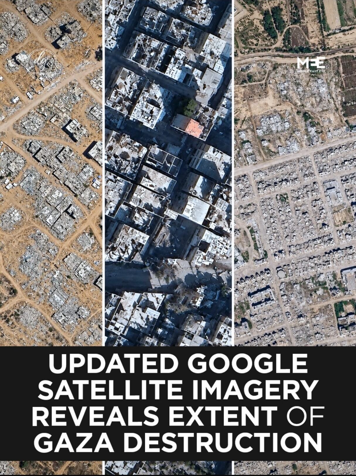
New Google Satellite Images Reveal Shocking Scale of Gaza Destruction
October 4, 2026
FROM SPACE, THERE’S NOWHERE LEFT TO HIDE THE TRUTH.
Google’s updated satellite imagery of Gaza shows what ground-level photos and Israel’s ban on foreign journalists have tried to keep the world from fully grasping: entire neighborhoods in Rafah, Khan Younis, and Gaza City turned to bare, cleared rubble. Areas that once held dense rows of homes now look wiped from the map entirely. Al-Shifa Hospital and its surroundings reduced to ruin.
The UN’s own satellite analysis confirms it: 82% of all structures in Gaza — roughly 200,000 buildings — have been damaged, two-thirds of them destroyed outright. Newer imagery from Planet Labs shows the demolitions haven’t stopped; they continued straight through September, even in areas already flattened months earlier.
A free, public map just did what thousands of testimonies and photos couldn’t fully convey: scale. Zoom out, and there’s no narrative spin left. Just absence, where a city used to be.
See it for yourself. Zoom in. Don’t look away.
Source: @middleeasteye
#Gaza #FreePalestine #Accountability #NeverLookAway #viralpost #reels #everyonehighlights #news #fyp
English Script:
N/A


